Find the biggest leaks first
Aerial surveys catch the largest emission events early, cutting risk and lost product.

One flyover finds the emission, names the emitting equipment, and maps the right-of-way with nothing taken offline. Aerial methane detection built on the largest emissions dataset.
Gas Value Saved
Assets Surveyed
of Pipeline Inspected
Square Miles Surveyed
Zeitview delivers the world’s safest methane measurement and optical imagery solution built for the real demands and risks facing oil and gas operations.
Here’s how it works...
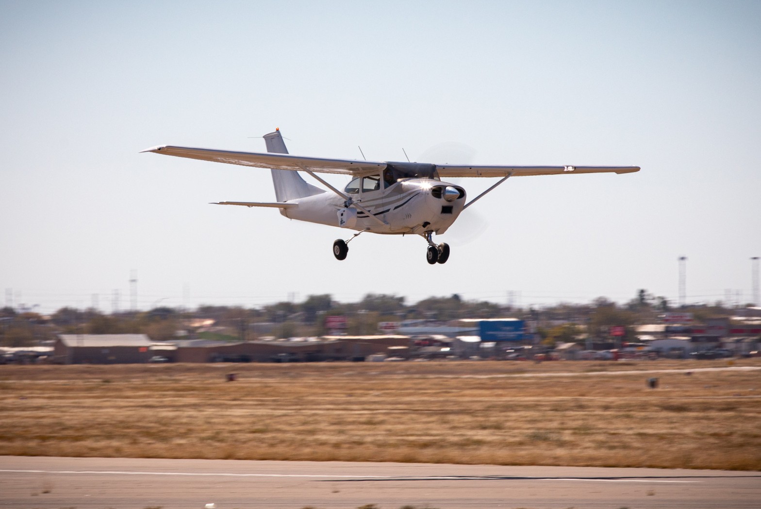
We design variable frequency aerial surveys with the customer’s needs in mind to detect methane emissions across wellsites, pipelines, and production infrastructure quickly and safely.
.png)
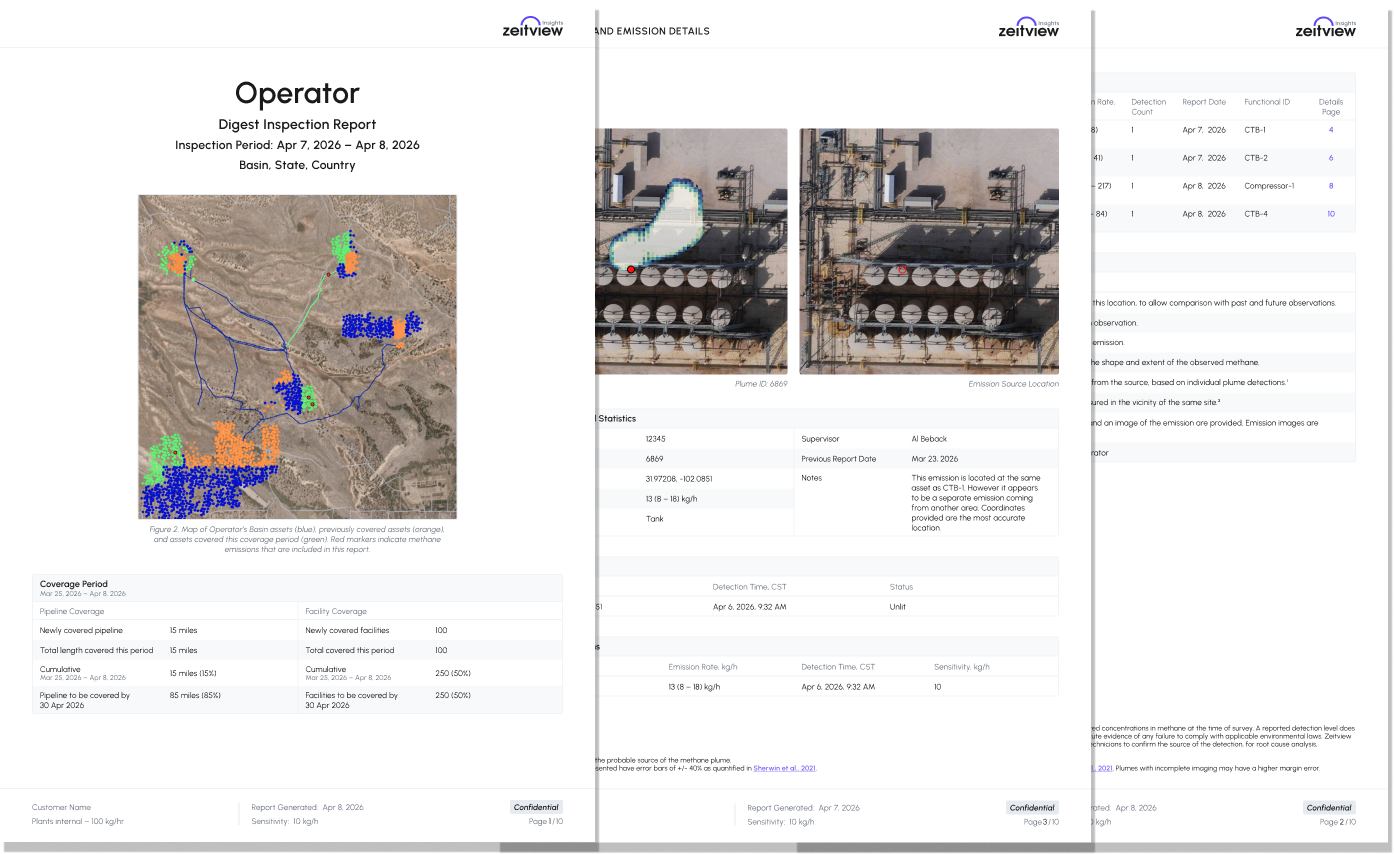
Each detection includes precise GPS location, emission rate, and timestamp, and real-time optical imagery, providing the data needed to understand issue severity and prioritize response.
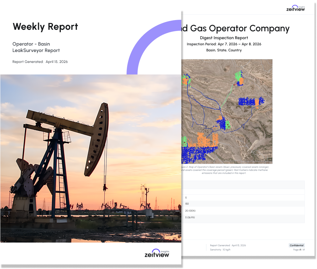
Reports include optical imagery, plume visualization, source identification, and quantified emissions to support operational decision-making and compliance.
Detection data supports prioritization of repairs, validation of remediation efforts, and tracking of emissions performance over time.
Variable frequency aerial surveys identify methane emissions across large operating areas, including wellheads, pipelines, and production infrastructure.
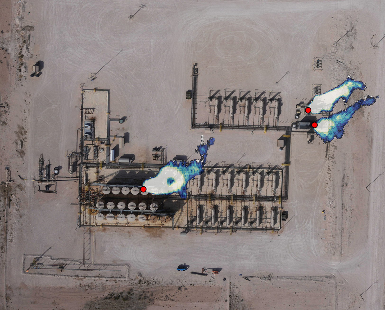
Precise geolocation and source-point identification allow operators to locate emissions quickly and accurately.
.png)
Each detection includes emission rate and repeat observations, enabling teams to assess severity and prioritize repairs.
.png)
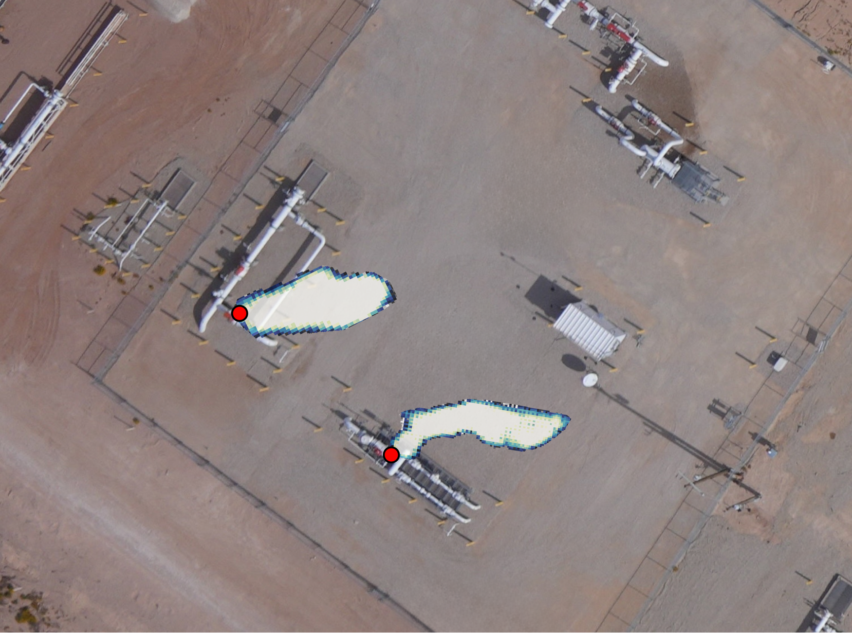
Optical imagery and plume visualization provide clear context for emission events and support faster field response.
Surveys can be conducted on a frequency to support customer needs. Align methane leak detection and ROW inspection cadences so both can be completed in the same flyover when appropriate, reducing duplicate flight activity and getting more value from each mission.
Standardized reporting supports internal tracking and regulatory requirements, providing consistent documentation across assets. Zeitview supports PHMSA regulatory compliance for leak detection, right-of-way (ROW), and classification. Zeitview is OOOOa/b, MiQ and OGMP certified.
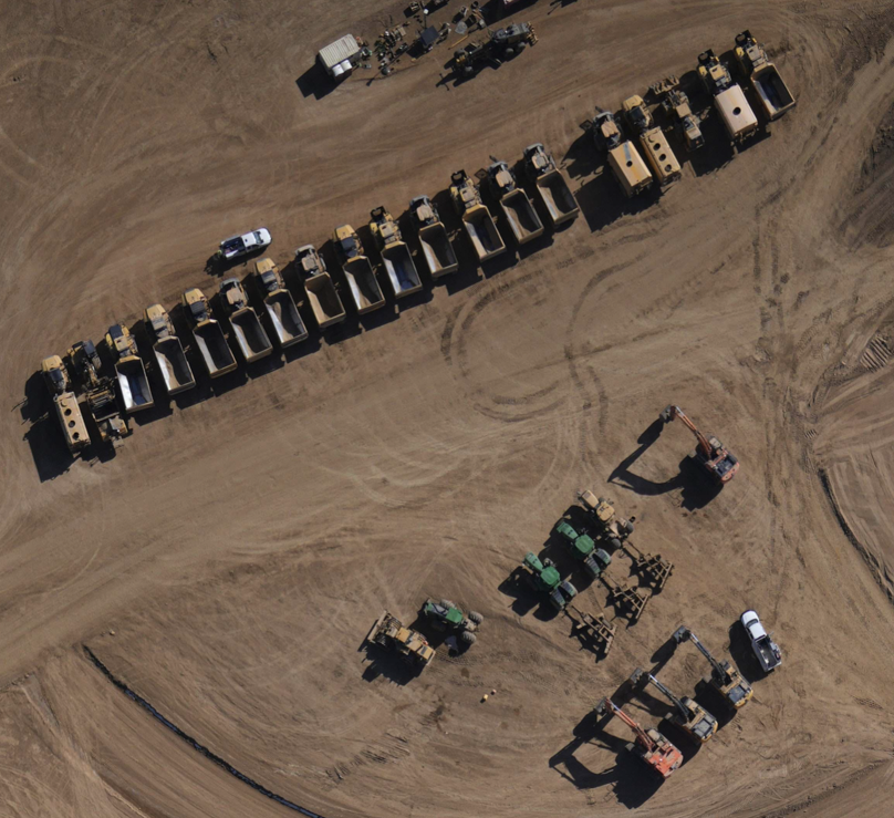
High-resolution aerial imagery helps operators identify ROW conditions such as encroachment, construction activity, erosion, vegetation, and pipeline exposure. Findings are geotagged and prioritized with precise location data, timestamps, imagery, and analyst notes. ROW data can be collected alongside methane leak detection in the same flyer to improve efficiency and auditability.
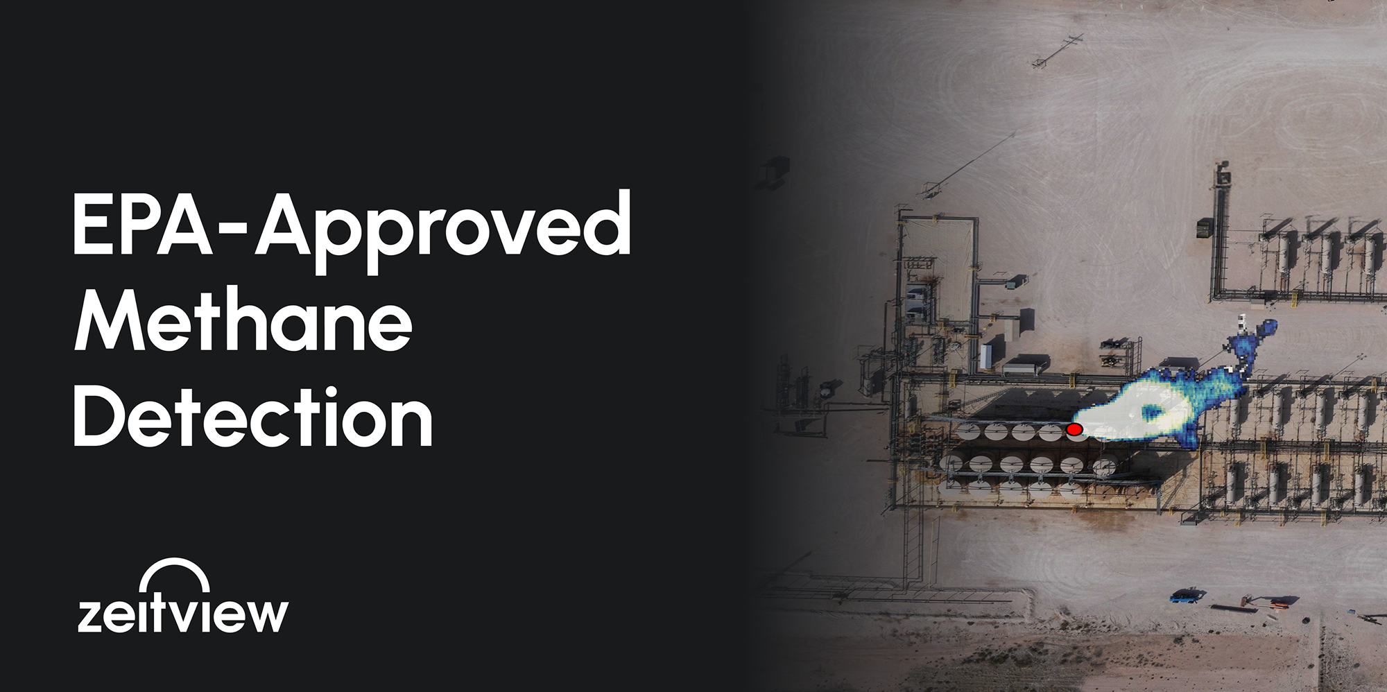
In January 2025, the U.S. Environmental Protection Agency approved Insight M, a Zeitview company's LeakSurveyor as a formal Alternative Test Method (MATM-004) for methane detection under the OOOO rule.
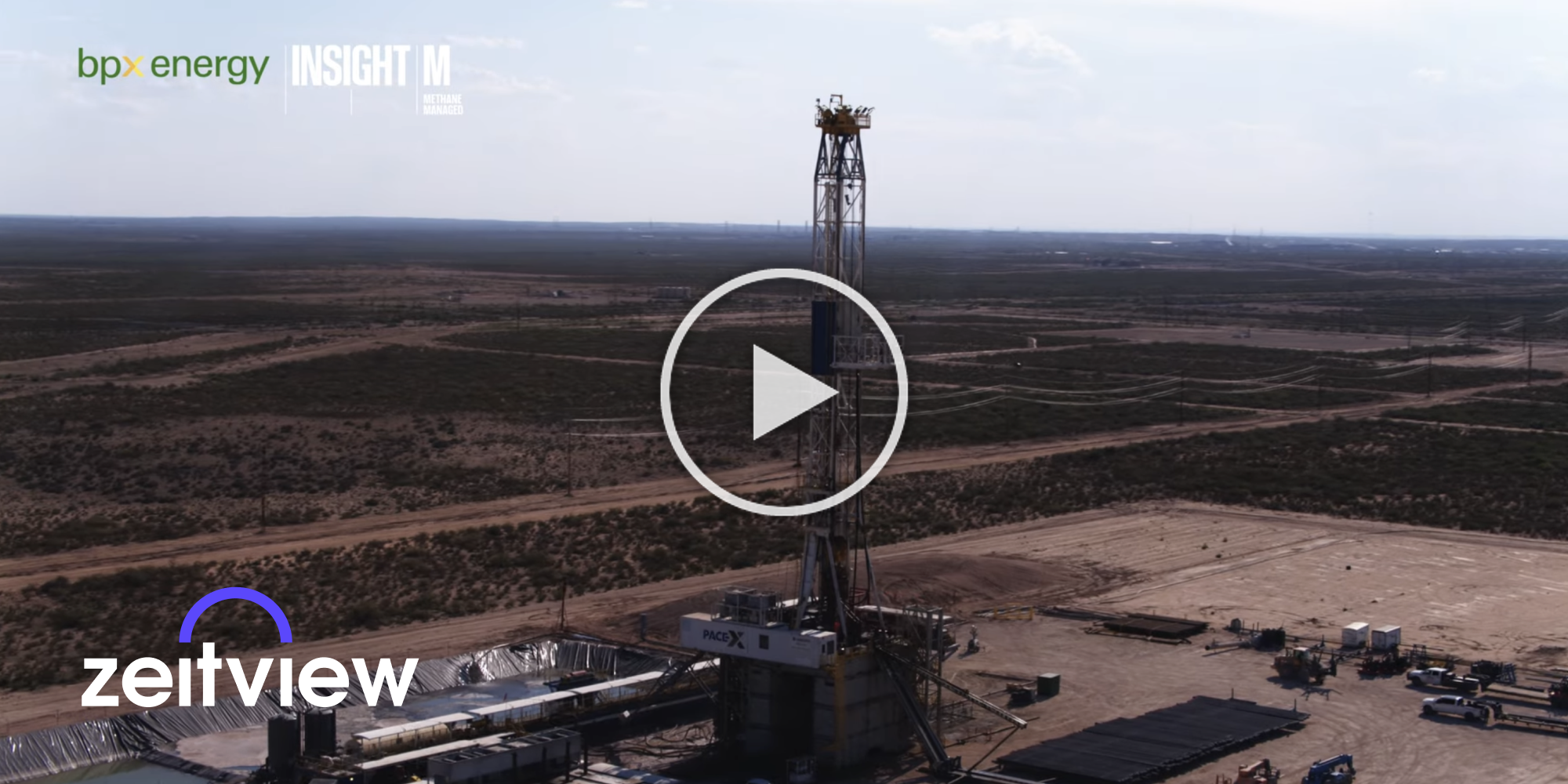
A case study of how BPX Energy's partnership with Insight M has helped BPX become a best-in-class operator in terms of mitigating its methane emissions.
Aerial methane detection uses aircraft-based sensors to survey large oil and gas operating areas for methane emissions. Zeitview detects emissions across wellsites, pipelines, and production infrastructure, then provides the location, emission rate, timestamp, imagery, and other observations operators need to assess severity and prioritize response.
Each Zeitview methane detection includes precise GPS location, quantified emission rate, timestamp, and supporting observations. Reporting can also include optical imagery, plume visualization, and source identification, giving operations and compliance teams context to understand the event, locate it quickly, and determine what action should come next.
Yes. Zeitview combines methane measurements with precise geolocation and optical context to support emission source identification, including attribution to the relevant equipment or source point when the data supports it. This helps field teams move from detecting an emission to locating the likely source more efficiently.
Methane quantification estimates the emission rate associated with a detected event. By comparing quantified detections, operators can understand relative severity, focus attention on larger emission sources, prioritize repair activity, and track emissions performance across repeated surveys.
Yes. Zeitview can pair methane detection with optical imagery collected during the same aerial mission to support pipeline right-of-way inspection. Combining data collection can reduce duplicated flight activity while giving operators methane findings and visual right-of-way information from a coordinated survey workflow.
Zeitview provides standardized methane detection reports with consistent documentation such as location, emission rate, timestamp, imagery, plume visualization, and source information. These records can support internal tracking and regulatory workflows, including leak detection and pipeline right-of-way programs where applicable.
Zeitview can design methane survey cadence around an operator’s assets, program requirements, and operational goals. Its oil and gas program supports recurring frequencies including bi-weekly, monthly, quarterly, and annual surveys, as well as customer-specific schedules.
Zeitview conducts aerial methane surveys across wellsites, pipelines, and production infrastructure for upstream and midstream oil and gas operations. The same aerial workflow can also provide optical imagery and asset context that support source identification, right-of-way review, and broader asset intelligence needs.